 vesseltracker.com
 OCEAN KINGDOM
Current Status
Where is the vessel?
OCEAN KINGDOM is currently in 11 nm NE of Malatapay, based on AIS data received about 5h ago.
Latest AIS update:
Current position: 9.66059° N, 123.29164° E (11 nm NE of Malatapay)
Average speed (last 7 days): Loading…
Average speed (last 30 days): Loading…
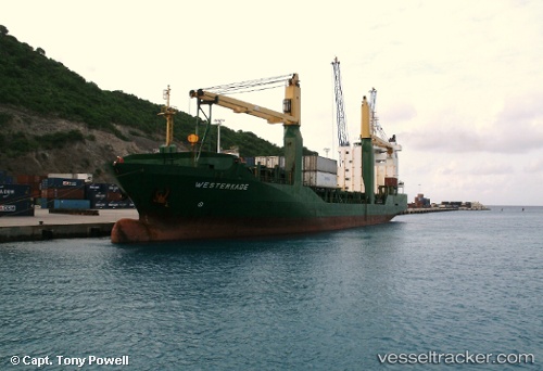
Vessel profile: OCEAN KINGDOM is a General Cargo Ship with dimensions 27m x 127m.
This page combines live AIS, route history, probable destination signals, nearby traffic, and port activity for practical vessel monitoring.
The current position of vessel OCEAN KINGDOM is 9.66059 lat / 123.29164 lng. Updated: 2026-04-05 18:50:38 UTCNearest reference points:
- 17 nm SW of Bacong
- Near TOLEDO
- Near Mandaue City
Currently sailing under the flag of Philippines ![]()
OCEAN KINGDOM built in 2000 year
Deadweight:
8450 tDetails:
Live Vessel OCEAN KINGDOM Analytics (details, animations, etc.)
Recent AIS points (UTC):
2026-04-05 17:03:38 UTC · 9.36581, 123.32098 · SOG 9.7 kn · COG -1°2026-04-05 18:50:38 UTC · 9.66059, 123.29164 · SOG 9.7 kn · COG -1°
2026-04-05 18:50:38 UTC · 9.66059, 123.29164 · SOG 9.7 kn · COG -1°
2026-04-05 18:50:38 UTC · 9.66059, 123.29164 · SOG 9.7 kn · COG -1°