 vesseltracker.com
Era S
Current StatusWhere is the vessel?
Era S is currently in Open sea (no nearby ports in database), based on AIS data received about 1h ago.
Latest AIS update:
Current position: 18.14333° S, 3.83667° E (Open sea (no nearby ports in database))
Average speed (last 7 days): Loading…
Average speed (last 30 days): Loading…
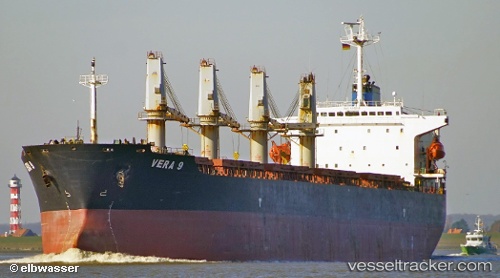
Vessel profile: Era S is a Bulk Carrier with dimensions 31m x 190m.
This page combines live AIS, route history, probable destination signals, nearby traffic, and port activity for practical vessel monitoring.
The current position of vessel Era S is -18.14333 lat / 3.83667 lng. Updated: 2026-05-17 07:06:38 UTCNearest reference points:
- Open sea (no nearby ports in database)
Details:
Live Vessel Era S Analytics (details, animations, etc.)
Recent AIS points (UTC):
2026-05-17 03:46:54 UTC · -18.68685, 4.31984 · SOG 13.2 kn · COG 319°2026-05-17 04:04:00 UTC · -18.64027, 4.27732 · SOG 12.5 kn · COG 320°
2026-05-17 05:22:01 UTC · -18.42909, 4.08722 · SOG 12.6 kn · COG 319°
2026-05-17 07:06:38 UTC · -18.14333, 3.83667 · SOG 12 kn · COG -1°