 vesseltracker.com
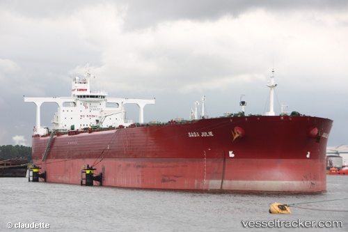
 ANITA
ANITA
Current Status
Where is the vessel?
ANITA is currently in 47 nm NE of PENGERANG, based on AIS data received about 1h ago.
Latest AIS update:
Current position: 1.90483° N, 104.69931° E (47 nm NE of PENGERANG)
Average speed (last 7 days): Loading…
Average speed (last 30 days): Loading…
Vessel profile: ANITA is a Crude Oil Tanker with dimensions m x m.
This page combines live AIS, route history, probable destination signals, nearby traffic, and port activity for practical vessel monitoring.
The current position of vessel ANITA is 1.90483 lat / 104.69931 lng. Updated: 2026-03-26 15:38:03 UTCNearest reference points:
- 45 nm NE of PENGERANG
- 47 nm NE of PENGERANG
- 51 nm NE of PENGERANG
Currently sailing under the flag of Gambia ![]()
Details:
Live Vessel ANITA Analytics (details, animations, etc.)
Recent AIS points (UTC):
2026-03-26 10:02:07 UTC · 1.90475, 104.69990 · SOG 0 kn · COG 2°2026-03-26 11:48:09 UTC · 1.90479, 104.69982 · SOG 0.1 kn · COG -1°
2026-03-26 14:05:06 UTC · 1.90487, 104.69935 · SOG 0 kn · COG 10°
2026-03-26 15:38:03 UTC · 1.90483, 104.69931 · SOG 0 kn · COG 12°