 vesseltracker.com
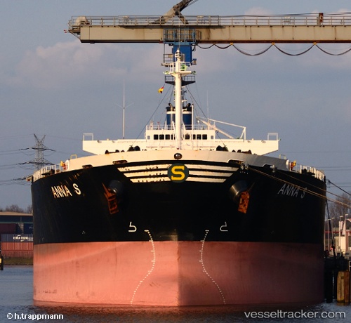
Anna S
Current StatusWhere is the vessel?
Anna S is currently in 34 nm W of Rabigh, based on AIS data received about 16d ago.
Latest AIS update:
Current position: 22.53957° N, 38.39073° E (34 nm W of Rabigh)
Average speed (last 7 days): Loading…
Average speed (last 30 days): Loading…
Vessel profile: Anna S is a Bulk Carrier with dimensions 32m x 225m.
This page combines live AIS, route history, probable destination signals, nearby traffic, and port activity for practical vessel monitoring.
The current position of vessel Anna S is 22.53957 lat / 38.39073 lng. Updated: 2026-03-23 21:30:16 UTCNearest reference points:
- Near Rabigh
- Near King Abdullah
- 65 nm SW of King Abdullah City
Details:
Live Vessel Anna S Analytics (details, animations, etc.)
Recent AIS points (UTC):
2026-03-23 21:30:16 UTC · 22.53957, 38.39073 · SOG 1.2 kn · COG -1°