 vesseltracker.com
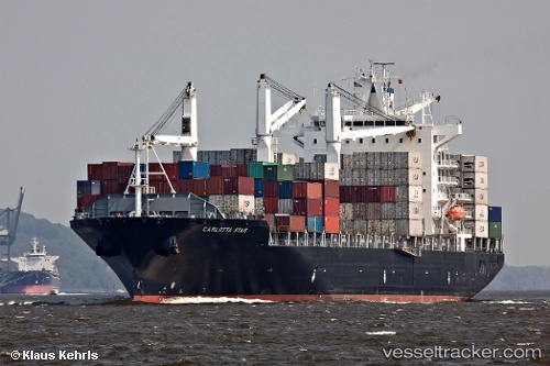
 Carlotta Star
Current Status
Where is the vessel?
Carlotta Star is currently in 25 nm S of El Puerto, based on AIS data received less than 1h ago.
Latest AIS update:
Current position: 6.96242° N, 81.04479° W (25 nm S of El Puerto)
Average speed (last 7 days): Loading…
Average speed (last 30 days): Loading…
Vessel profile: Carlotta Star is a Container Ship with dimensions 243m x 32m.
This page combines live AIS, route history, probable destination signals, nearby traffic, and port activity for practical vessel monitoring.
The current position of vessel Carlotta Star is 6.96242 lat / -81.04479 lng. Updated: 2026-04-19 17:32:49 UTCNearest reference points:
- 20 nm S of El Puerto
- 30 nm E of El Cirial (Isla Iguana)
- Near Chiriquí Grande
Currently sailing under the flag of Liberia ![]()
Carlotta Star built in 2000 year
Deadweight:
40017 tDetails:
Live Vessel Carlotta Star Analytics (details, animations, etc.)
Recent AIS points (UTC):
2026-04-19 14:15:19 UTC · 7.11987, -80.07846 · SOG 19.7 kn · COG 224°2026-04-19 15:33:37 UTC · 6.96704, -80.44591 · SOG 19.1 kn · COG 273°
2026-04-19 16:35:49 UTC · 6.97463, -80.76423 · SOG 17.4 kn · COG 270°
2026-04-19 17:32:49 UTC · 6.96242, -81.04479 · SOG 18.2 kn · COG 268°