 vesseltracker.com
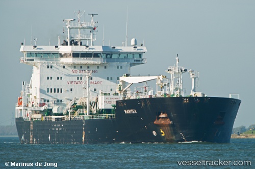
 Maritea
Current Status
Where is the vessel?
Maritea is currently in 63 nm N of Bnei Darom, based on AIS data received less than 1h ago.
Latest AIS update:
Current position: 32.85167° N, 31.86500° E (63 nm N of Bnei Darom)
Average speed (last 7 days): Loading…
Average speed (last 30 days): Loading…
Vessel profile: Maritea is a Chemical Oil Products Tanker with dimensions 176m x 30m.
This page combines live AIS, route history, probable destination signals, nearby traffic, and port activity for practical vessel monitoring.
The current position of vessel Maritea is 32.85167 lat / 31.86500 lng. Updated: 2026-03-29 17:28:01 UTCNearest reference points:
- 68 nm SW of Paphos
- 24 nm SW of Atakka Dry Port
- 21 nm N of Port Said
Currently sailing under the flag of Italy ![]()
Maritea built in 2002 year
Deadweight:
35795 tDetails:
Live Vessel Maritea Analytics (details, animations, etc.)
Recent AIS points (UTC):
2026-03-29 11:37:05 UTC · 32.89167, 31.71667 · SOG 1 kn · COG -1°2026-03-29 13:13:01 UTC · 32.88333, 31.75667 · SOG 1 kn · COG -1°
2026-03-29 15:43:08 UTC · 32.86500, 31.82333 · SOG 1 kn · COG -1°
2026-03-29 17:28:01 UTC · 32.85167, 31.86500 · SOG 1 kn · COG -1°