 vesseltracker.com
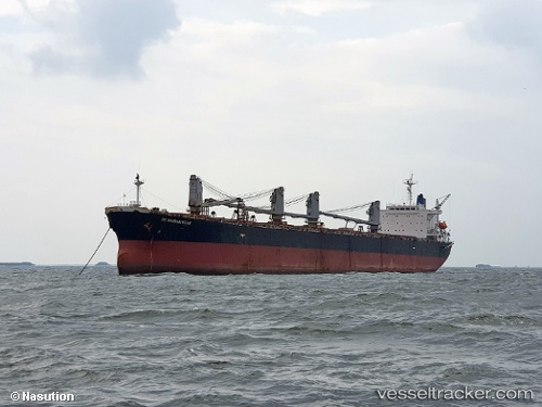
 RUBY INDAH
Current Status
Where is the vessel?
RUBY INDAH is currently in Near Dibba, based on AIS data received about 3d ago.
Latest AIS update:
Current position: 25.60167° N, 56.41833° E (Near Dibba)
Average speed (last 7 days): Loading…
Average speed (last 30 days): Loading…
Vessel profile: RUBY INDAH is a Bulk Carrier with dimensions 32m x 225m.
This page combines live AIS, route history, probable destination signals, nearby traffic, and port activity for practical vessel monitoring.
The current position of vessel RUBY INDAH is 25.60167 lat / 56.41833 lng. Updated: 2026-03-23 06:01:35 UTCNearest reference points:
- Near KHORFAKKAN
- Near Offshore Fujairah
- Near Fujairah
Currently sailing under the flag of Panama ![]()
RUBY INDAH built in 1999 year
Deadweight:
73852 tDetails:
Live Vessel RUBY INDAH Analytics (details, animations, etc.)
Recent AIS points (UTC):
2026-03-23 00:18:53 UTC · 25.60278, 56.42007 · SOG 0.1 kn · COG -1°2026-03-23 06:01:35 UTC · 25.60167, 56.41833 · SOG 0 kn · COG -1°
2026-03-23 06:01:35 UTC · 25.60167, 56.41833 · SOG 0 kn · COG -1°
2026-03-23 06:01:35 UTC · 25.60167, 56.41833 · SOG 0 kn · COG -1°