 vesseltracker.com
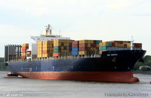
 GSL MELITA
Current Status
Where is the vessel?
GSL MELITA is currently in 27 nm E of Southwest Rocks, based on AIS data received less than 1h ago.
Latest AIS update:
Current position: 30.74234° S, 153.52339° E (27 nm E of Southwest Rocks)
Average speed (last 7 days): Loading…
Average speed (last 30 days): Loading…
Vessel profile: GSL MELITA is a Container Ship with dimensions 277m x 40m.
This page combines live AIS, route history, probable destination signals, nearby traffic, and port activity for practical vessel monitoring.
The current position of vessel GSL MELITA is -30.74234 lat / 153.52339 lng. Updated: 2026-04-07 13:55:24 UTCNearest reference points:
- Near Warners Bay
- Near Caves Beach
Currently sailing under the flag of Liberia ![]()
GSL MELITA built in 2001 year
Deadweight:
67591 tDetails:
Live Vessel GSL MELITA Analytics (details, animations, etc.)
Recent AIS points (UTC):
2026-04-07 07:32:03 UTC · -29.37697, 153.89355 · SOG 13.6 kn · COG 203°2026-04-07 09:41:34 UTC · -29.84083, 153.75978 · SOG 13.1 kn · COG 191°
2026-04-07 12:19:03 UTC · -30.39703, 153.61346 · SOG 13 kn · COG 193°
2026-04-07 13:55:24 UTC · -30.74234, 153.52339 · SOG 13 kn · COG 196°