 vesseltracker.com
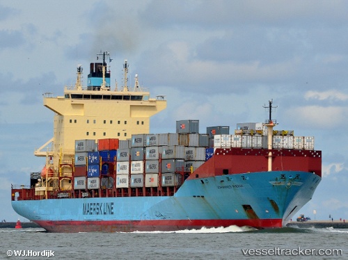
Johannes Maersk
Current StatusWhere is the vessel?
Johannes Maersk is currently in Near Haarlemmermeer, based on AIS data received about 1h ago.
Latest AIS update:
Current position: 51.95502° N, 3.99464° E (Near Haarlemmermeer)
Average speed (last 7 days): Loading…
Average speed (last 30 days): Loading…
Vessel profile: Johannes Maersk is a Container Ship with dimensions 32m x 216m.
This page combines live AIS, route history, probable destination signals, nearby traffic, and port activity for practical vessel monitoring.
The current position of vessel Johannes Maersk is 51.95502 lat / 3.99464 lng. Updated: 2026-03-26 12:20:51 UTCNearest reference points:
- Near MAASVLAKTE - ROTTERDAM
- Near Haarlemmermeer
- Near Rockanje
Details:
Live Vessel Johannes Maersk Analytics (details, animations, etc.)
Recent AIS points (UTC):
2026-03-26 06:23:21 UTC · 51.95904, 3.54653 · SOG 6.3 kn · COG 73°2026-03-26 07:26:20 UTC · 51.98096, 3.71239 · SOG 5.5 kn · COG 81°
2026-03-26 09:48:21 UTC · 51.98871, 4.04189 · SOG 9.9 kn · COG 114°
2026-03-26 12:20:51 UTC · 51.95502, 3.99464 · SOG 0 kn · COG 34°