 vesseltracker.com
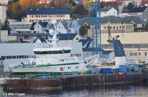
 Ole arvid Nergaard
Current Status
Where is the vessel?
Ole arvid Nergaard is currently in 68 nm S of Bjornoya, based on AIS data received about 2h ago.
Latest AIS update:
Current position: 73.41233° N, 18.02277° E (68 nm S of Bjornoya)
Average speed (last 7 days): Loading…
Average speed (last 30 days): Loading…
Vessel profile: Ole arvid Nergaard is a Fishing Vessel with dimensions 55m x 55m.
This page combines live AIS, route history, probable destination signals, nearby traffic, and port activity for practical vessel monitoring.
The current position of vessel Ole arvid Nergaard is 73.41233 lat / 18.02277 lng. Updated: 2026-03-28 12:21:38 UTCNearest reference points:
- 45 nm W of Bjornoya
- 40 nm SW of Snohvit
Currently sailing under the flag of Norway ![]()
Ole arvid Nergaard built in 2001 year
Deadweight:
500 tDetails:
Live Vessel Ole arvid Nergaard Analytics (details, animations, etc.)
Recent AIS points (UTC):
2026-03-28 05:20:36 UTC · 74.15933, 19.21032 · SOG 11.8 kn · COG 2°2026-03-28 07:27:15 UTC · 74.18833, 19.02333 · SOG 9 kn · COG -1°
2026-03-28 09:35:43 UTC · 73.85507, 18.60784 · SOG 9.9 kn · COG 201°
2026-03-28 12:21:38 UTC · 73.41233, 18.02277 · SOG 10.3 kn · COG 199°