 vesseltracker.com
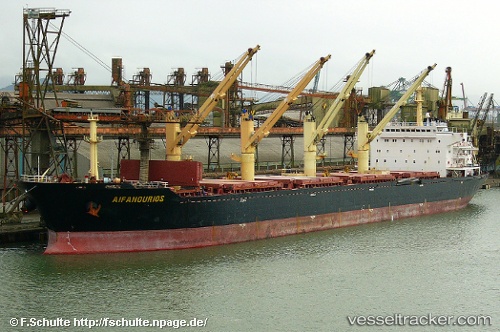
 MANALAGI ENZI
Current Status
Where is the vessel?
MANALAGI ENZI is currently in 11 nm W of Madura Terminal, based on AIS data received about 1h ago.
Latest AIS update:
Current position: 6.81048° S, 112.77285° E (11 nm W of Madura Terminal)
Average speed (last 7 days): Loading…
Average speed (last 30 days): Loading…
Vessel profile: MANALAGI ENZI is a Bulk Carrier with dimensions 190m x 32m.
This page combines live AIS, route history, probable destination signals, nearby traffic, and port activity for practical vessel monitoring.
The current position of vessel MANALAGI ENZI is -6.81048 lat / 112.77285 lng. Updated: 2026-04-16 19:41:47 UTCNearest reference points:
- 11 nm W of Madura Terminal
- 10 nm W of Poleng
- Near Bangkalan
Currently sailing under the flag of Indonesia ![]()
MANALAGI ENZI built in 2002 year
Deadweight:
50220 tDetails:
Live Vessel MANALAGI ENZI Analytics (details, animations, etc.)
Recent AIS points (UTC):
2026-04-16 14:15:25 UTC · -6.81062, 112.77282 · SOG 0 kn · COG 85°2026-04-16 15:56:18 UTC · -6.81050, 112.77276 · SOG 0 kn · COG 88°
2026-04-16 17:25:18 UTC · -6.81053, 112.77282 · SOG 0 kn · COG 92°
2026-04-16 19:41:47 UTC · -6.81048, 112.77285 · SOG 0.1 kn · COG 92°