 vesseltracker.com
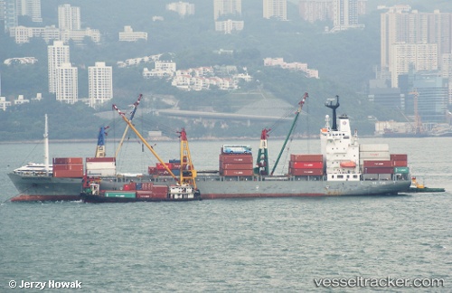
 SM JAKARTA
Current Status
Where is the vessel?
SM JAKARTA is currently in 48 nm E of Dai Hung (STS Load), based on AIS data received less than 1h ago.
Latest AIS update:
Current position: 8.78758° N, 104.09702° E (48 nm E of Dai Hung (STS Load))
Average speed (last 7 days): Loading…
Average speed (last 30 days): Loading…
Vessel profile: SM JAKARTA is a Container Ship with dimensions m x m.
This page combines live AIS, route history, probable destination signals, nearby traffic, and port activity for practical vessel monitoring.
The current position of vessel SM JAKARTA is 8.78758 lat / 104.09702 lng. Updated: 2026-04-22 17:33:34 UTCNearest reference points:
- 30 nm E of Dai Hung (STS Load)
- 23 nm E of Muda Marine Terminal
- 68 nm S of Nam Can Port
Currently sailing under the flag of South Korea ![]()
Details:
Live Vessel SM JAKARTA Analytics (details, animations, etc.)
Recent AIS points (UTC):
2026-04-22 13:57:25 UTC · 9.24824, 103.42763 · SOG 13.4 kn · COG 128°2026-04-22 15:40:36 UTC · 9.02791, 103.74200 · SOG 13.3 kn · COG -1°
2026-04-22 16:52:13 UTC · 8.87559, 103.96589 · SOG 13.3 kn · COG 125°
2026-04-22 17:33:34 UTC · 8.78758, 104.09702 · SOG 13.9 kn · COG 126°