 vesseltracker.com
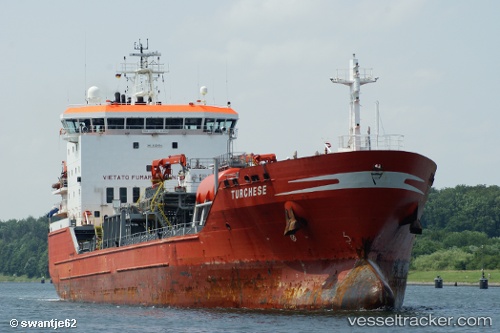
Vessel KARLICA IMO: 9220354, MMSI: 271049308 Oil/Chemical Tanker
UTC, 37.16667, 2.91500, course: -1, speed: 10
UTC, 37.09333, 2.44500, course: -1, speed: 10
2026-03-24 20:06:40 UTC, 37.06556, 1.97052, course: -1, speed: 9.8
Live Vessel KARLICA Analytics (details, animations, etc.)
Live AIS position: UTC. 17 nm SW of Albanchez), updated 2026-03-24 20:06:40 UTC.Find the position of the vessel KARLICA on the map. The latter are known coordinates and path.
marine traffic ship tracker show on live map
The current position of vessel KARLICA is 37.06556 lat / 1.97052 lng. Updated: 2026-03-24 20:06:40 UTCCurrently sailing under the flag of Turkey
KARLICA built in 2000 year
Deadweight:
12000 tDetails:
Last coordinates of the vessel:
UTC, 37.20354, 3.38470, course: -1, speed: 10.1UTC, 37.16667, 2.91500, course: -1, speed: 10
UTC, 37.09333, 2.44500, course: -1, speed: 10
2026-03-24 20:06:40 UTC, 37.06556, 1.97052, course: -1, speed: 9.8