 vesseltracker.com
 Blue Boy
Current Status
Where is the vessel?
Blue Boy is currently in Near Marina di Ravenna, based on AIS data received about 1h ago.
Latest AIS update:
Current position: 44.48761° N, 12.27314° E (Near Marina di Ravenna)
Average speed (last 7 days): Loading…
Average speed (last 30 days): Loading…
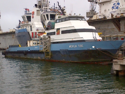
Vessel profile: Blue Boy is a Offshore Tug Supply Ship with dimensions 42m x 8m.
This page combines live AIS, route history, probable destination signals, nearby traffic, and port activity for practical vessel monitoring.
The current position of vessel Blue Boy is 44.48761 lat / 12.27314 lng. Updated: 2026-04-02 05:54:52 UTCNearest reference points:
- Near Marina di Ravenna
- Near Porto San Vitale
- Near San Giuseppe
Currently sailing under the flag of Italy ![]()
Details:
Live Vessel Blue Boy Analytics (details, animations, etc.)
Recent AIS points (UTC):
2026-04-02 00:09:47 UTC · 44.48760, 12.27313 · SOG 0 kn · COG -1°2026-04-02 02:09:46 UTC · 44.48763, 12.27311 · SOG 0.1 kn · COG -1°
2026-04-02 03:42:50 UTC · 44.48765, 12.27312 · SOG 0 kn · COG -1°
2026-04-02 05:54:52 UTC · 44.48761, 12.27314 · SOG 0 kn · COG -1°