 vesseltracker.com
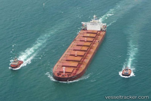
Innovation Way
Current StatusWhere is the vessel?
Innovation Way is currently in 49 nm NW of Cap Skiring, based on AIS data received less than 1h ago.
Latest AIS update:
Current position: 12.70197° N, 17.51460° W (49 nm NW of Cap Skiring)
Average speed (last 7 days): Loading…
Average speed (last 30 days): Loading…
Vessel profile: Innovation Way is a Heavy Load Carrier with dimensions 49m x 249m.
This page combines live AIS, route history, probable destination signals, nearby traffic, and port activity for practical vessel monitoring.
The current position of vessel Innovation Way is 12.70197 lat / -17.51460 lng. Updated: 2026-04-19 15:56:57 UTCNearest reference points:
- 48 nm W of Cap Skiring
- Near Banjul
- Near San Francisco Libre
Details:
Live Vessel Innovation Way Analytics (details, animations, etc.)
Recent AIS points (UTC):
2026-04-19 12:00:42 UTC · 12.70197, -17.51498 · SOG 0 kn · COG -1°2026-04-19 13:38:57 UTC · 12.70203, -17.51488 · SOG 0 kn · COG 2°
2026-04-19 14:17:48 UTC · 12.70198, -17.51483 · SOG 0 kn · COG 1°
2026-04-19 15:56:57 UTC · 12.70197, -17.51460 · SOG 0 kn · COG 356°