 vesseltracker.com
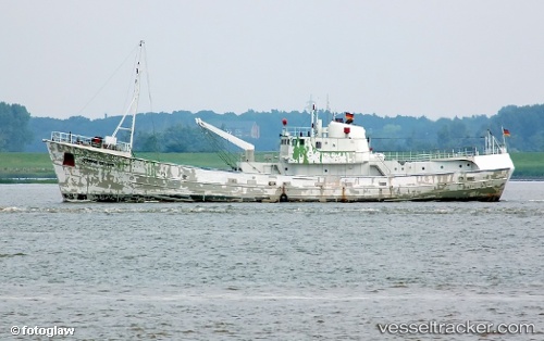
 Grampian Explorer
Current Status
Where is the vessel?
Grampian Explorer is currently in 28 nm NE of Somersby, based on AIS data received about 1h ago.
Latest AIS update:
Current position: 53.44255° N, 1.66790° E (28 nm NE of Somersby)
Average speed (last 7 days): Loading…
Average speed (last 30 days): Loading…
Vessel profile: Grampian Explorer is a Offshore Tug Supply Ship with dimensions 73m x 72m.
This page combines live AIS, route history, probable destination signals, nearby traffic, and port activity for practical vessel monitoring.
The current position of vessel Grampian Explorer is 53.44255 lat / 1.66790 lng. Updated: 2026-04-07 19:57:53 UTCNearest reference points:
- 48 nm NE of Somersby
- Near Hedenham
- Near Hemsby
Currently sailing under the flag of United Kingdom ![]()
Grampian Explorer built in 2003 year
Deadweight:
3100 tDetails:
Live Vessel Grampian Explorer Analytics (details, animations, etc.)
Recent AIS points (UTC):
2026-04-07 14:13:53 UTC · 53.57037, 1.62986 · SOG 4.7 kn · COG 2°2026-04-07 16:21:53 UTC · 53.46441, 1.67750 · SOG 2 kn · COG 218°
2026-04-07 17:51:32 UTC · 53.49099, 1.61722 · SOG 2.7 kn · COG 134°
2026-04-07 19:57:53 UTC · 53.44255, 1.66790 · SOG 0.7 kn · COG 355°