 vesseltracker.com
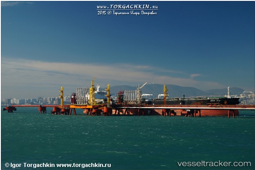
 NICHOLA
Current Status
Where is the vessel?
NICHOLA is currently in 65 nm NW of Krueng Geukueh, based on AIS data received less than 1h ago.
Latest AIS update:
Current position: 6.20048° N, 96.52606° E (65 nm NW of Krueng Geukueh)
Average speed (last 7 days): Loading…
Average speed (last 30 days): Loading…
Vessel profile: NICHOLA is a Crude Oil Tanker with dimensions m x m.
This page combines live AIS, route history, probable destination signals, nearby traffic, and port activity for practical vessel monitoring.
The current position of vessel NICHOLA is 6.20048 lat / 96.52606 lng. Updated: 2026-04-19 22:02:35 UTCNearest reference points:
- 45 nm NE of Krueng Geukueh
- 53 nm NE of Sebang
- 21 nm N of Sebang
Details:
Live Vessel NICHOLA Analytics (details, animations, etc.)
Recent AIS points (UTC):
2026-04-19 19:34:11 UTC · 6.15500, 96.89833 · SOG 9 kn · COG -1°2026-04-19 19:40:12 UTC · 6.15833, 96.88167 · SOG 9 kn · COG -1°
2026-04-19 21:52:15 UTC · 6.19833, 96.55167 · SOG 8 kn · COG -1°
2026-04-19 22:02:35 UTC · 6.20048, 96.52606 · SOG 9 kn · COG 277°