 vesseltracker.com
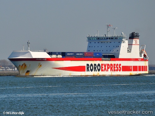
 MAYAR
MAYAR
Current Status
Where is the vessel?
MAYAR is currently in Near San Ferdinando, based on AIS data received less than 1h ago.
Latest AIS update:
Current position: 38.47082° N, 15.91651° E (Near San Ferdinando)
Average speed (last 7 days): Loading…
Average speed (last 30 days): Loading…
Vessel profile: MAYAR is a Ro-Ro Cargo with dimensions m x m.
This page combines live AIS, route history, probable destination signals, nearby traffic, and port activity for practical vessel monitoring.
The current position of vessel MAYAR is 38.47082 lat / 15.91651 lng. Updated: 2026-04-23 01:10:51 UTCNearest reference points:
- Near Tropea
- Near Pizzo
- Near Torre Faro
Currently sailing under the flag of Portugal ![]()
Details:
Live Vessel MAYAR Analytics (details, animations, etc.)
Recent AIS points (UTC):
2026-04-22 21:47:11 UTC · 38.47082, 15.91645 · SOG 0.3 kn · COG 212°2026-04-22 22:04:40 UTC · 38.47081, 15.91647 · SOG 0.7 kn · COG 212°
2026-04-23 00:15:22 UTC · 38.47081, 15.91652 · SOG 0.5 kn · COG 212°
2026-04-23 01:10:51 UTC · 38.47082, 15.91651 · SOG 0.1 kn · COG 212°