 vesseltracker.com
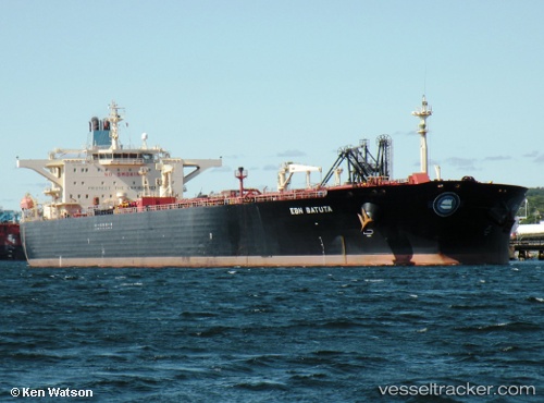
 YULIN
YULIN
Current Status
Where is the vessel?
YULIN is currently in 28 nm SW of Parit Raja, based on AIS data received less than 1h ago.
Latest AIS update:
Current position: 1.68590° N, 102.69500° E (28 nm SW of Parit Raja)
Average speed (last 7 days): Loading…
Average speed (last 30 days): Loading…
Vessel profile: YULIN is a Crude Oil Tanker with dimensions m x m.
This page combines live AIS, route history, probable destination signals, nearby traffic, and port activity for practical vessel monitoring.
The current position of vessel YULIN is 1.68590 lat / 102.69500 lng. Updated: 2026-04-15 19:52:53 UTCNearest reference points:
- 29 nm W of Parit Raja
- 12 nm S of Tangkak
- 17 nm NE of Perawang
Currently sailing under the flag of Nicaragua ![]()
Details:
Live Vessel YULIN Analytics (details, animations, etc.)
Recent AIS points (UTC):
2026-04-15 13:33:21 UTC · 2.30245, 101.73292 · SOG 11.1 kn · COG 126°2026-04-15 15:26:12 UTC · 2.08754, 102.01449 · SOG 11 kn · COG 127°
2026-04-15 18:11:22 UTC · 1.81792, 102.42275 · SOG 10.6 kn · COG 113°
2026-04-15 19:52:53 UTC · 1.68590, 102.69500 · SOG 10.9 kn · COG 114°