 vesseltracker.com
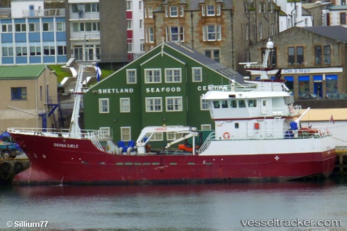
 GRIP AUSTRAL
Current Status
Where is the vessel?
GRIP AUSTRAL is currently in 18 nm S of Laguna Blanca, based on AIS data received about 15h ago.
Latest AIS update:
Current position: 52.55500° S, 71.96000° W (18 nm S of Laguna Blanca)
Average speed (last 7 days): Loading…
Average speed (last 30 days): Loading…
Vessel profile: GRIP AUSTRAL is a Fish Carrier with dimensions 10m x 36m.
This page combines live AIS, route history, probable destination signals, nearby traffic, and port activity for practical vessel monitoring.
The current position of vessel GRIP AUSTRAL is -52.55500 lat / -71.96000 lng. Updated: 2026-04-10 07:14:17 UTCNearest reference points:
- 46 nm SW of Timaukel
Currently sailing under the flag of Chile ![]()
GRIP AUSTRAL built in 2000 year
Deadweight:
997 tDetails:
Live Vessel GRIP AUSTRAL Analytics (details, animations, etc.)
Recent AIS points (UTC):
2026-04-10 02:14:21 UTC · -52.55500, -71.96000 · SOG 0 kn · COG -1°2026-04-10 04:14:23 UTC · -52.55500, -71.96000 · SOG 0 kn · COG -1°
2026-04-10 06:05:18 UTC · -52.55500, -71.96000 · SOG 0 kn · COG -1°
2026-04-10 07:14:17 UTC · -52.55500, -71.96000 · SOG 0 kn · COG -1°