 vesseltracker.com
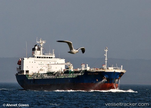
 NYMPH THETIS
Current Status
Where is the vessel?
NYMPH THETIS is currently in 17 nm S of Abu Musa, based on AIS data received less than 1h ago.
Latest AIS update:
Current position: 25.59409° N, 55.10306° E (17 nm S of Abu Musa)
Average speed (last 7 days): Loading…
Average speed (last 30 days): Loading…
Vessel profile: NYMPH THETIS is a Oil/Chemical Tanker with dimensions m x m.
This page combines live AIS, route history, probable destination signals, nearby traffic, and port activity for practical vessel monitoring.
The current position of vessel NYMPH THETIS is 25.59409 lat / 55.10306 lng. Updated: 2026-04-20 05:18:57 UTCNearest reference points:
- 17 nm NW of Free Port
- Near Sharjah
- Near Free Port
Currently sailing under the flag of Barbados ![]()
Details:
Live Vessel NYMPH THETIS Analytics (details, animations, etc.)
Recent AIS points (UTC):
2026-04-20 02:13:44 UTC · 25.59358, 55.10007 · SOG 0.1 kn · COG 102°2026-04-20 03:24:50 UTC · 25.59442, 55.10267 · SOG 0 kn · COG 212°
2026-04-20 04:09:53 UTC · 25.59427, 55.10290 · SOG 0 kn · COG 224°
2026-04-20 05:18:57 UTC · 25.59409, 55.10306 · SOG 0 kn · COG 230°