 vesseltracker.com
 S.ARAS
Current Status
Where is the vessel?
S.ARAS is currently in 352 nm N of Mindelo, based on AIS data received about 2h ago.
Latest AIS update:
Current position: 22.74167° N, 24.94500° W (352 nm N of Mindelo)
Average speed (last 7 days): Loading…
Average speed (last 30 days): Loading…
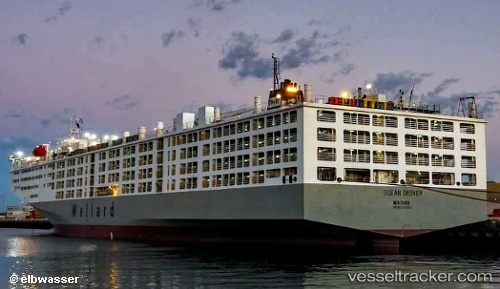
Vessel profile: S.ARAS is a Livestock Carrier with dimensions m x m.
This page combines live AIS, route history, probable destination signals, nearby traffic, and port activity for practical vessel monitoring.
The current position of vessel S.ARAS is 22.74167 lat / -24.94500 lng. Updated: 2026-04-12 08:06:37 UTCCurrently sailing under the flag of Marshall Islands ![]()
Details:
Live Vessel S.ARAS Analytics (details, animations, etc.)
Recent AIS points (UTC):
2026-04-10 05:15:51 UTC · 33.22900, -11.04197 · SOG 18.2 kn · COG 238°2026-04-10 07:31:48 UTC · 32.83667, -11.73500 · SOG 19 kn · COG -1°
2026-04-12 06:39:20 UTC · 23.07500, -24.59500 · SOG 19 kn · COG -1°
2026-04-12 08:06:37 UTC · 22.74167, -24.94500 · SOG 19 kn · COG -1°