 vesseltracker.com
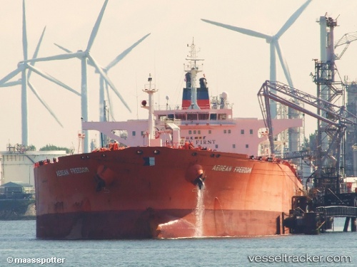
 VERNON
Current Status
Where is the vessel?
VERNON is currently in 13 nm W of Galle, based on AIS data received less than 1h ago.
Latest AIS update:
Current position: 5.97170° N, 80.00878° E (13 nm W of Galle)
Average speed (last 7 days): Loading…
Average speed (last 30 days): Loading…
Vessel profile: VERNON is a Crude Oil Tanker with dimensions m x m.
This page combines live AIS, route history, probable destination signals, nearby traffic, and port activity for practical vessel monitoring.
The current position of vessel VERNON is 5.97170 lat / 80.00878 lng. Updated: 2026-04-19 07:47:17 UTCNearest reference points:
- 19 nm SW of Bataduwa
- 15 nm S of Koggala
- 38 nm SW of Galle
Currently sailing under the flag of Guinea-Bissau ![]()
Details:
Live Vessel VERNON Analytics (details, animations, etc.)
Recent AIS points (UTC):
2026-04-19 01:26:20 UTC · 5.97122, 80.00835 · SOG 0.1 kn · COG -1°2026-04-19 02:53:17 UTC · 5.97135, 80.00855 · SOG 0.1 kn · COG -1°
2026-04-19 02:53:17 UTC · 5.97135, 80.00855 · SOG 0.1 kn · COG -1°
2026-04-19 07:47:17 UTC · 5.97170, 80.00878 · SOG 0.1 kn · COG -1°