 vesseltracker.com
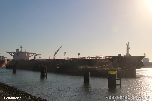
 ATILA
ATILA
Current Status
Where is the vessel?
ATILA is currently in 63 nm NE of PENGERANG, based on AIS data received about 13d ago.
Latest AIS update:
Current position: 2.13378° N, 104.82910° E (63 nm NE of PENGERANG)
Average speed (last 7 days): Loading…
Average speed (last 30 days): Loading…
Vessel profile: ATILA is a Crude Oil Tanker with dimensions m x m.
This page combines live AIS, route history, probable destination signals, nearby traffic, and port activity for practical vessel monitoring.
The current position of vessel ATILA is 2.13378 lat / 104.82910 lng. Updated: 2026-03-23 05:38:24 UTCNearest reference points:
- 64 nm NE of PENGERANG
- 53 nm NE of PENGERANG
- 55 nm NE of PENGERANG
Details:
Live Vessel ATILA Analytics (details, animations, etc.)
Recent AIS points (UTC):
2026-03-23 05:38:24 UTC · 2.13378, 104.82910 · SOG 0 kn · COG -1°2026-03-23 05:38:24 UTC · 2.13378, 104.82910 · SOG 0 kn · COG -1°