 vesseltracker.com
 SANTIYA
Current Status
Where is the vessel?
SANTIYA is currently in Near AL ADABIYAH, based on AIS data received less than 1h ago.
Latest AIS update:
Current position: 29.88743° N, 32.47425° E (Near AL ADABIYAH)
Average speed (last 7 days): Loading…
Average speed (last 30 days): Loading…
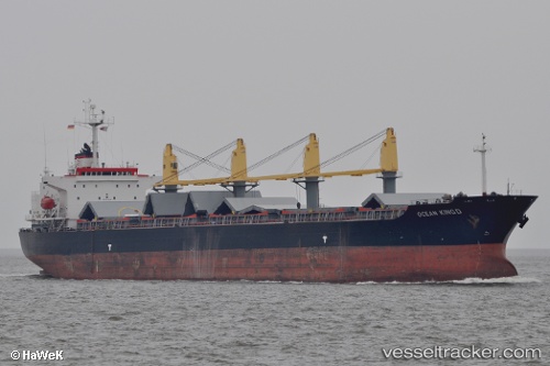
Vessel profile: SANTIYA is a Bulk Carrier with dimensions m x m.
This page combines live AIS, route history, probable destination signals, nearby traffic, and port activity for practical vessel monitoring.
The current position of vessel SANTIYA is 29.88743 lat / 32.47425 lng. Updated: 2026-04-08 15:41:09 UTCNearest reference points:
- Near AL ADABIYAH
- Near Bur Ibrahim
- Near As Suways (Suez)
Currently sailing under the flag of Panama ![]()
Details:
Live Vessel SANTIYA Analytics (details, animations, etc.)
Recent AIS points (UTC):
2026-04-08 10:11:09 UTC · 29.88743, 32.47428 · SOG 0 kn · COG 335°2026-04-08 12:23:11 UTC · 29.88748, 32.47427 · SOG 0 kn · COG 335°
2026-04-08 13:53:09 UTC · 29.88747, 32.47426 · SOG 0 kn · COG 335°
2026-04-08 15:41:09 UTC · 29.88743, 32.47425 · SOG 0 kn · COG 335°