 vesseltracker.com
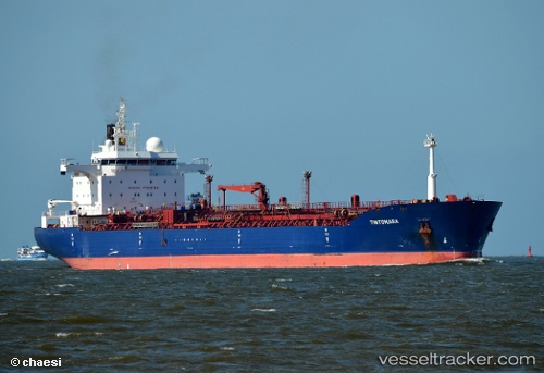
 FT SUNRISE
Current Status
Where is the vessel?
FT SUNRISE is currently in 14 nm W of TANJUNG PELEPAS, based on AIS data received less than 1h ago.
Latest AIS update:
Current position: 1.25024° N, 103.33053° E (14 nm W of TANJUNG PELEPAS)
Average speed (last 7 days): Loading…
Average speed (last 30 days): Loading…
Vessel profile: FT SUNRISE is a Oil/Chemical Tanker with dimensions m x m.
This page combines live AIS, route history, probable destination signals, nearby traffic, and port activity for practical vessel monitoring.
The current position of vessel FT SUNRISE is 1.25024 lat / 103.33053 lng. Updated: 2026-04-08 06:17:37 UTCNearest reference points:
- Near Tanjungbalai
- 15 nm W of Tanjong Bin
- 19 nm W of Tanjong Bin
Currently sailing under the flag of San Marino ![]()
Details:
Live Vessel FT SUNRISE Analytics (details, animations, etc.)
Recent AIS points (UTC):
2026-04-07 23:26:08 UTC · 1.81167, 102.41833 · SOG 8 kn · COG -1°2026-04-08 02:29:11 UTC · 1.61167, 102.81667 · SOG 9 kn · COG -1°
2026-04-08 04:10:45 UTC · 1.46794, 103.04819 · SOG 9.8 kn · COG 119°
2026-04-08 06:17:37 UTC · 1.25024, 103.33053 · SOG 10.5 kn · COG 134°