 vesseltracker.com
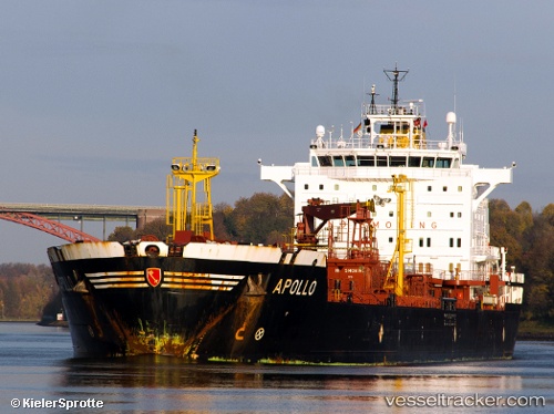
 MACKEREL
Current Status
Where is the vessel?
MACKEREL is currently in 24 nm SW of Kish Island, based on AIS data received about 1h ago.
Latest AIS update:
Current position: 26.22719° N, 53.71787° E (24 nm SW of Kish Island)
Average speed (last 7 days): Loading…
Average speed (last 30 days): Loading…
Vessel profile: MACKEREL is a Oil/Chemical Tanker with dimensions m x m.
This page combines live AIS, route history, probable destination signals, nearby traffic, and port activity for practical vessel monitoring.
The current position of vessel MACKEREL is 26.22719 lat / 53.71787 lng. Updated: 2026-04-07 17:19:27 UTCNearest reference points:
- Near Jazireh-Ye Lavan
- 11 nm SW of Fateh Terminal
- 21 nm NE of Halul Island
Currently sailing under the flag of Panama ![]()
Details:
Live Vessel MACKEREL Analytics (details, animations, etc.)
Recent AIS points (UTC):
2026-04-07 00:50:19 UTC · 27.41059, 51.13759 · SOG 9.7 kn · COG 141°2026-04-07 13:21:08 UTC · 26.57285, 53.11307 · SOG 9.5 kn · COG 121°
2026-04-07 16:03:50 UTC · 26.34643, 53.53250 · SOG 9.4 kn · COG 126°
2026-04-07 17:19:27 UTC · 26.22719, 53.71787 · SOG 9.7 kn · COG 127°