 ISAIAH
Current Status
Where is the vessel?
ISAIAH is currently in 16 nm E of PENGERANG, based on AIS data received about 113d ago.
Latest AIS update:
Current position: 1.36535° N, 104.44382° E (16 nm E of PENGERANG)
Average speed (last 7 days): Loading…
Average speed (last 30 days): Loading…
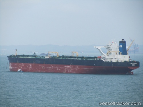
Vessel profile: ISAIAH is a Crude Oil Tanker with dimensions 58m x 333m.
This page combines live AIS, route history, probable destination signals, nearby traffic, and port activity for practical vessel monitoring.
The current position of vessel ISAIAH is 1.36535 lat / 104.44382 lng. Updated: 2026-01-31 11:21:28 UTCNearest reference points:
- Near PENGERANG
- Near Tanjung Setapa
- 34 nm NE of PENGERANG
Currently sailing under the flag of Liberia ![]()
ISAIAH built in 2003 year
Deadweight:
317972 tDetails:
Live Vessel ISAIAH Analytics (details, animations, etc.)
Recent AIS points (UTC):
2026-01-31 11:21:28 UTC · 1.36535, 104.44382 · SOG 7.4 kn · COG 49°