 vesseltracker.com
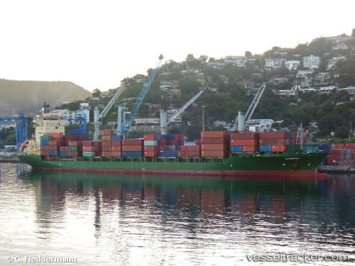
 MSC EMILY II
Current Status
Where is the vessel?
MSC EMILY II is currently in 43 nm E of Kakap Natuna Terminal, based on AIS data received less than 1h ago.
Latest AIS update:
Current position: 5.22649° N, 106.64355° E (43 nm E of Kakap Natuna Terminal)
Average speed (last 7 days): Loading…
Average speed (last 30 days): Loading…
Vessel profile: MSC EMILY II is a Container Ship with dimensions 25m x 184m.
This page combines live AIS, route history, probable destination signals, nearby traffic, and port activity for practical vessel monitoring.
The current position of vessel MSC EMILY II is 5.22649 lat / 106.64355 lng. Updated: 2026-04-19 16:19:05 UTCNearest reference points:
- 46 nm E of Kakap Natuna Terminal
- 45 nm E of Kakap Natuna Terminal
- 36 nm SW of Slipi
Currently sailing under the flag of Liberia ![]()
MSC EMILY II built in 2003 year
Deadweight:
23063 tDetails:
Live Vessel MSC EMILY II Analytics (details, animations, etc.)
Recent AIS points (UTC):
2026-04-19 13:44:24 UTC · 5.81645, 107.08053 · SOG 16.7 kn · COG 215°2026-04-19 14:05:48 UTC · 5.73499, 107.02227 · SOG 16.8 kn · COG 215°
2026-04-19 16:04:11 UTC · 5.28412, 106.68550 · SOG 17.1 kn · COG 216°
2026-04-19 16:19:05 UTC · 5.22649, 106.64355 · SOG 17.1 kn · COG 216°