 vesseltracker.com
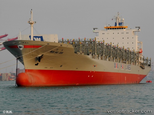
 ZYRA
ZYRA
Current Status
Where is the vessel?
ZYRA is currently in 72 nm SW of Umm Lajj, based on AIS data received about 1h ago.
Latest AIS update:
Current position: 24.06355° N, 36.47960° E (72 nm SW of Umm Lajj)
Average speed (last 7 days): Loading…
Average speed (last 30 days): Loading…
Vessel profile: ZYRA is a Container Ship with dimensions m x m.
This page combines live AIS, route history, probable destination signals, nearby traffic, and port activity for practical vessel monitoring.
The current position of vessel ZYRA is 24.06355 lat / 36.47960 lng. Updated: 2026-03-30 17:34:28 UTCNearest reference points:
- 74 nm SW of Yanbu
- 35 nm S of Umm Lajj
- 30 nm SW of Yanbu
Currently sailing under the flag of Comoros ![]()
Details:
Live Vessel ZYRA Analytics (details, animations, etc.)
Recent AIS points (UTC):
2026-03-30 12:03:19 UTC · 25.29460, 35.73666 · SOG 15.7 kn · COG 148°2026-03-30 13:59:56 UTC · 24.85437, 36.03650 · SOG 15.7 kn · COG 154°
2026-03-30 15:43:39 UTC · 24.45821, 36.26035 · SOG 13.9 kn · COG 150°
2026-03-30 17:34:28 UTC · 24.06355, 36.47960 · SOG 15.1 kn · COG 150°