 vesseltracker.com
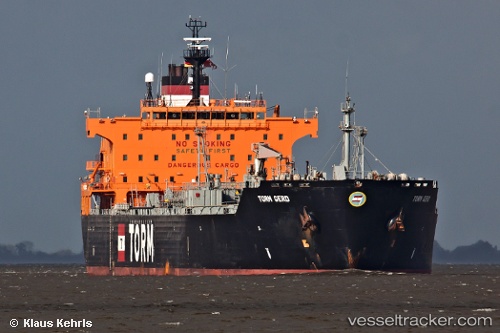
Vessel LANIKAI IMO: 9240897, MMSI: 352002778 Chemical/Oil Products Tanker
UTC, 44.21493, 36.56126, course: -1, speed: 7.3
UTC, 44.49894, 36.55280, course: -1, speed: 7.5
UTC, 44.52922, 36.55129, course: -1, speed: 7.5
2026-03-19 00:04:06 UTC, 44.52922, 36.55129, course: -1, speed: 7.5
Live Vessel LANIKAI Analytics (details, animations, etc.)
Live AIS position: UTC. 42 nm S of Taman'), updated 2026-03-19 00:04:06 UTC.Find the position of the vessel LANIKAI on the map. The latter are known coordinates and path.
marine traffic ship tracker show on live map
The current position of vessel LANIKAI is 44.52922 lat / 36.55129 lng. Updated: 2026-03-19 00:04:06 UTCCurrently sailing under the flag of Panama
LANIKAI built in 2002 year
Deadweight:
46317 tDetails:
Last coordinates of the vessel:
UTC, 43.80036, 36.57957, course: -1, speed: 8.6UTC, 44.21493, 36.56126, course: -1, speed: 7.3
UTC, 44.49894, 36.55280, course: -1, speed: 7.5
UTC, 44.52922, 36.55129, course: -1, speed: 7.5
2026-03-19 00:04:06 UTC, 44.52922, 36.55129, course: -1, speed: 7.5