 vesseltracker.com
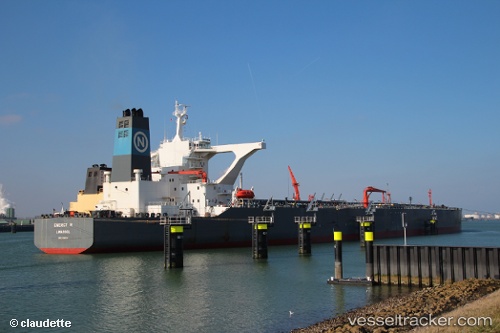
 PENTA I
Current Status
Where is the vessel?
PENTA I is currently in 77 nm NE of SUR, based on AIS data received about 139d ago.
Latest AIS update:
Current position: 23.15948° N, 60.77698° E (77 nm NE of SUR)
Average speed (last 7 days): Loading…
Average speed (last 30 days): Loading…
Vessel profile: PENTA I is a Crude Oil Tanker with dimensions 333m x 333m.
This page combines live AIS, route history, probable destination signals, nearby traffic, and port activity for practical vessel monitoring.
The current position of vessel PENTA I is 23.15948 lat / 60.77698 lng. Updated: 2025-12-02 21:18:54 UTCNearest reference points:
- 52 nm NE of SUR
- 97 nm S of Chabahar
- 96 nm E of SUR
Currently sailing under the flag of Panama ![]()
PENTA I built in 2003 year
Deadweight:
319175 tDetails:
Live Vessel PENTA I Analytics (details, animations, etc.)
Recent AIS points (UTC):
2025-12-02 21:18:54 UTC · 23.15948, 60.77698 · SOG 10.9 kn · COG -1°