 vesseltracker.com
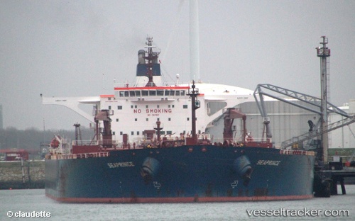
 TRIDENT 9
Current Status
Where is the vessel?
TRIDENT 9 is currently in Near CHANGXINDAO, based on AIS data received about 1h ago.
Latest AIS update:
Current position: 39.59638° N, 121.27523° E (Near CHANGXINDAO)
Average speed (last 7 days): Loading…
Average speed (last 30 days): Loading…
Vessel profile: TRIDENT 9 is a Crude Oil Tanker with dimensions m x m.
This page combines live AIS, route history, probable destination signals, nearby traffic, and port activity for practical vessel monitoring.
The current position of vessel TRIDENT 9 is 39.59638 lat / 121.27523 lng. Updated: 2026-04-18 17:38:43 UTCNearest reference points:
- 30 nm NW of CHANGXINDAO
- 21 nm E of CHANGXINDAO
- 16 nm N of Lushun New Pt
Currently sailing under the flag of Marshall Islands ![]()
Details:
Live Vessel TRIDENT 9 Analytics (details, animations, etc.)
Recent AIS points (UTC):
2026-04-18 11:50:44 UTC · 39.59638, 121.27528 · SOG 0 kn · COG 62°2026-04-18 13:50:41 UTC · 39.59637, 121.27532 · SOG 0 kn · COG 62°
2026-04-18 16:06:03 UTC · 39.59500, 121.27500 · SOG 0 kn · COG -1°
2026-04-18 17:38:43 UTC · 39.59638, 121.27523 · SOG 0 kn · COG 61°