 vesseltracker.com
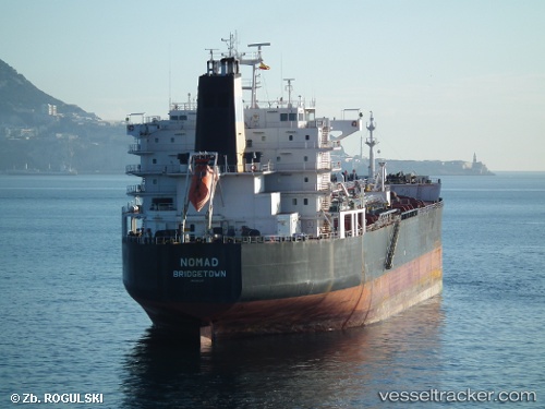
 MANILA I
Current Status
Where is the vessel?
MANILA I is currently in 87 nm SW of Al Muajjiz, based on AIS data received less than 1h ago.
Latest AIS update:
Current position: 22.42264° N, 37.29447° E (87 nm SW of Al Muajjiz)
Average speed (last 7 days): Loading…
Average speed (last 30 days): Loading…
Vessel profile: MANILA I is a Oil/Chemical Tanker with dimensions m x m.
This page combines live AIS, route history, probable destination signals, nearby traffic, and port activity for practical vessel monitoring.
The current position of vessel MANILA I is 22.42264 lat / 37.29447 lng. Updated: 2026-04-16 19:52:26 UTCNearest reference points:
- 95 nm SW of Al Muajjiz
- 65 nm SW of King Abdullah City
- 67 nm W of Tusdeer Free Zone
Currently sailing under the flag of Panama ![]()
Details:
Live Vessel MANILA I Analytics (details, animations, etc.)
Recent AIS points (UTC):
2026-04-16 11:18:43 UTC · 24.01141, 36.50689 · SOG 12.2 kn · COG 150°2026-04-16 13:38:34 UTC · 23.58377, 36.72617 · SOG 12.3 kn · COG 155°
2026-04-16 15:25:38 UTC · 23.25402, 36.91018 · SOG 12.7 kn · COG 147°
2026-04-16 19:52:26 UTC · 22.42264, 37.29447 · SOG 12 kn · COG 152°