 vesseltracker.com
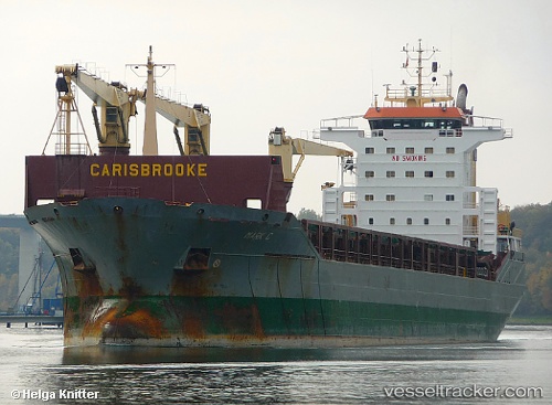
Vitoria Bay
Current StatusWhere is the vessel?
Vitoria Bay is currently in 84 nm E of Ryuo, based on AIS data received about 2h ago.
Latest AIS update:
Current position: 35.60667° N, 18.33667° E (84 nm E of Ryuo)
Average speed (last 7 days): Loading…
Average speed (last 30 days): Loading…
Vessel profile: Vitoria Bay is a Multi Purpose Carrier with dimensions 24m x 160m.
This page combines live AIS, route history, probable destination signals, nearby traffic, and port activity for practical vessel monitoring.
The current position of vessel Vitoria Bay is 35.60667 lat / 18.33667 lng. Updated: 2026-03-30 09:04:55 UTCNearest reference points:
- 73 nm N of Pinelands
- 71 nm N of Pinelands
- 103 nm NE of Ryuo
Currently sailing under the flag of
Vitoria Bay built in 0 year
Deadweight:
0 tDetails:
Live Vessel Vitoria Bay Analytics (details, animations, etc.)
Recent AIS points (UTC):
2026-03-30 03:40:49 UTC · 35.85167, 17.00167 · SOG 11 kn · COG -1°2026-03-30 05:11:25 UTC · 35.78265, 17.35421 · SOG 11.8 kn · COG -1°
2026-03-30 07:34:53 UTC · 35.67833, 17.94833 · SOG 12 kn · COG -1°
2026-03-30 09:04:55 UTC · 35.60667, 18.33667 · SOG 12 kn · COG -1°