 vesseltracker.com
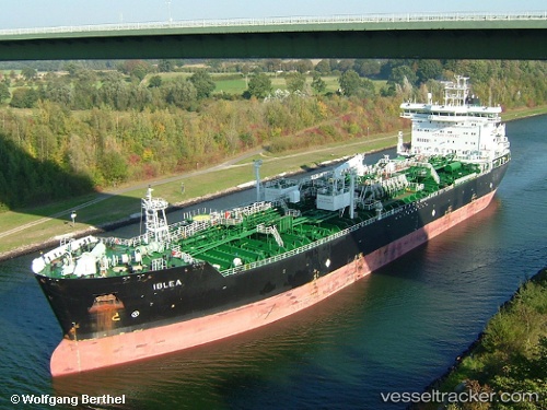
 IBLEA
IBLEA
Current Status
Where is the vessel?
IBLEA is currently in 21 nm E of Caioba, based on AIS data received less than 1h ago.
Latest AIS update:
Current position: 25.71854° S, 48.17972° W (21 nm E of Caioba)
Average speed (last 7 days): Loading…
Average speed (last 30 days): Loading…
Vessel profile: IBLEA is a Oil/Chemical Tanker with dimensions m x m.
This page combines live AIS, route history, probable destination signals, nearby traffic, and port activity for practical vessel monitoring.
The current position of vessel IBLEA is -25.71854 lat / -48.17972 lng. Updated: 2026-04-22 23:05:36 UTCNearest reference points:
- 24 nm E of Caioba
- 32 nm E of Caioba
- 10 nm NE of CAMBORIU
Currently sailing under the flag of Portugal ![]()
Details:
Live Vessel IBLEA Analytics (details, animations, etc.)
Recent AIS points (UTC):
2026-04-22 19:50:41 UTC · -25.71739, -48.17867 · SOG 0 kn · COG 148°2026-04-22 20:14:38 UTC · -25.71738, -48.17876 · SOG 0 kn · COG 143°
2026-04-22 21:59:39 UTC · -25.71785, -48.17933 · SOG 0.1 kn · COG 119°
2026-04-22 23:05:36 UTC · -25.71854, -48.17972 · SOG 0 kn · COG 95°