 vesseltracker.com
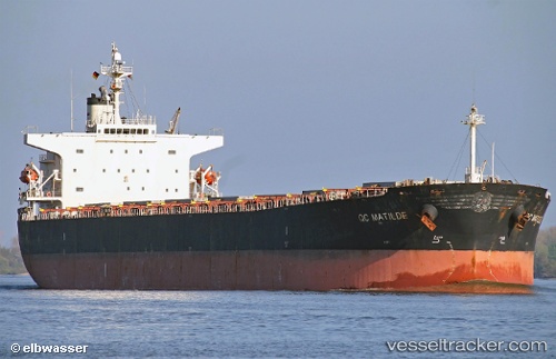
 ARISTA
Current Status
Where is the vessel?
ARISTA is currently in Near Isdemir, based on AIS data received about 2h ago.
Latest AIS update:
Current position: 36.69457° N, 36.18650° E (Near Isdemir)
Average speed (last 7 days): Loading…
Average speed (last 30 days): Loading…
Vessel profile: ARISTA is a Bulk Carrier with dimensions m x m.
This page combines live AIS, route history, probable destination signals, nearby traffic, and port activity for practical vessel monitoring.
The current position of vessel ARISTA is 36.69457 lat / 36.18650 lng. Updated: 2026-04-09 06:03:26 UTCNearest reference points:
- Near Iskenderun
- Near DORTYOL
- 13 nm W of Iskenderun
Currently sailing under the flag of Panama ![]()
Details:
Live Vessel ARISTA Analytics (details, animations, etc.)
Recent AIS points (UTC):
2026-04-08 23:18:28 UTC · 36.69455, 36.18649 · SOG 0.4 kn · COG 64°2026-04-09 01:58:24 UTC · 36.69454, 36.18647 · SOG 0.6 kn · COG 65°
2026-04-09 04:13:28 UTC · 36.69455, 36.18647 · SOG 0 kn · COG 66°
2026-04-09 06:03:26 UTC · 36.69457, 36.18650 · SOG 0.3 kn · COG 66°