 vesseltracker.com
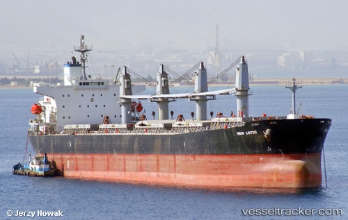
 JIAFU
JIAFU
Current Status
Where is the vessel?
JIAFU is currently in 296 nm SW of Veraval, based on AIS data received about 2h ago.
Latest AIS update:
Current position: 18.39833° N, 65.85333° E (296 nm SW of Veraval)
Average speed (last 7 days): Loading…
Average speed (last 30 days): Loading…
Vessel profile: JIAFU is a Bulk Carrier with dimensions m x m.
This page combines live AIS, route history, probable destination signals, nearby traffic, and port activity for practical vessel monitoring.
The current position of vessel JIAFU is 18.39833 lat / 65.85333 lng. Updated: 2026-03-30 05:51:38 UTCNearest reference points:
- Open sea, approx. 402 nm off the nearest listed port
- Open sea, approx. 401 nm off the nearest listed port
- Open sea, approx. 403 nm off the nearest listed port
Currently sailing under the flag of Panama ![]()
Details:
Live Vessel JIAFU Analytics (details, animations, etc.)
Recent AIS points (UTC):
2026-03-29 23:57:35 UTC · 18.43167, 65.78667 · SOG 0 kn · COG -1°2026-03-30 01:54:40 UTC · 18.42167, 65.80667 · SOG 0 kn · COG -1°
2026-03-30 03:54:41 UTC · 18.41167, 65.83167 · SOG 0 kn · COG -1°
2026-03-30 05:51:38 UTC · 18.39833, 65.85333 · SOG 0 kn · COG -1°