 vesseltracker.com
 ROYA
ROYA
Current Status
Where is the vessel?
ROYA is currently in 18 nm N of Hulaylah Terminal, based on AIS data received about 1h ago.
Latest AIS update:
Current position: 26.26813° N, 55.82562° E (18 nm N of Hulaylah Terminal)
Average speed (last 7 days): Loading…
Average speed (last 30 days): Loading…
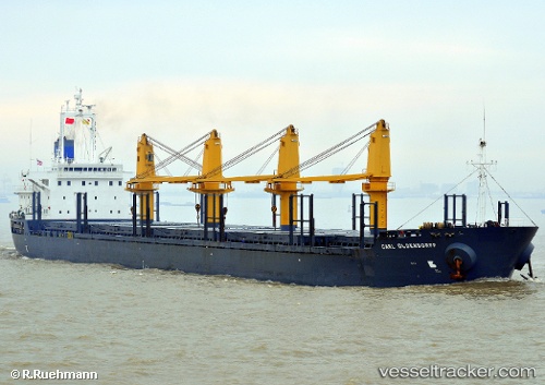
Vessel profile: ROYA is a Bulk Carrier with dimensions m x m.
This page combines live AIS, route history, probable destination signals, nearby traffic, and port activity for practical vessel monitoring.
The current position of vessel ROYA is 26.26813 lat / 55.82562 lng. Updated: 2026-04-08 09:53:13 UTCNearest reference points:
- 20 nm NW of Hulaylah Terminal
- Near Hulaylah Terminal
- 13 nm NW of Hulaylah Terminal
Currently sailing under the flag of Panama ![]()
Details:
Live Vessel ROYA Analytics (details, animations, etc.)
Recent AIS points (UTC):
2026-04-08 03:54:04 UTC · 26.26813, 55.82569 · SOG 0.1 kn · COG 226°2026-04-08 06:23:25 UTC · 26.26828, 55.82558 · SOG 0.1 kn · COG 225°
2026-04-08 07:50:09 UTC · 26.26803, 55.82568 · SOG 0 kn · COG 235°
2026-04-08 09:53:13 UTC · 26.26813, 55.82562 · SOG 0 kn · COG 235°