 vesseltracker.com
 IZOLA
IZOLA
Current Status
Where is the vessel?
IZOLA is currently in 202 nm S of Felixstow, based on AIS data received about 481d ago.
Latest AIS update:
Current position: 55.23655° S, 0.00375° E (202 nm S of Felixstow)
Average speed (last 7 days): Loading…
Average speed (last 30 days): Loading…
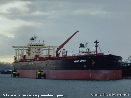
Vessel profile: IZOLA is a Crude Oil Tanker with dimensions 272m x 46m.
This page combines live AIS, route history, probable destination signals, nearby traffic, and port activity for practical vessel monitoring.
The current position of vessel IZOLA is -55.23655 lat / 0.00375 lng. Updated: 2024-12-20 03:25:34 UTCCurrently sailing under the flag of Cook Is ![]()
IZOLA built in 2001 year
Deadweight:
149995 tDetails:
Live Vessel IZOLA Analytics (details, animations, etc.)
Recent AIS points (UTC):
2024-12-20 03:25:34 UTC · -55.23655, 0.00375 · SOG 0 kn · COG 96°