 vesseltracker.com
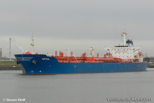
 PRIMA XP
Current Status
Where is the vessel?
PRIMA XP is currently in Near BAUBAU, based on AIS data received about 1h ago.
Latest AIS update:
Current position: 5.51526° S, 122.55516° E (Near BAUBAU)
Average speed (last 7 days): Loading…
Average speed (last 30 days): Loading…
Vessel profile: PRIMA XP is a Oil Products Tanker with dimensions 31m x 175m.
This page combines live AIS, route history, probable destination signals, nearby traffic, and port activity for practical vessel monitoring.
The current position of vessel PRIMA XP is -5.51526 lat / 122.55516 lng. Updated: 2026-04-20 14:22:50 UTCNearest reference points:
- Near BAUBAU
- Near Labuan
- 27 nm SW of Kolaka
Currently sailing under the flag of Indonesia ![]()
PRIMA XP built in 2002 year
Deadweight:
40094 tDetails:
Live Vessel PRIMA XP Analytics (details, animations, etc.)
Recent AIS points (UTC):
2026-04-20 10:16:52 UTC · -5.51523, 122.55517 · SOG 0 kn · COG 0°2026-04-20 12:16:53 UTC · -5.51528, 122.55519 · SOG 0 kn · COG 0°
2026-04-20 13:43:53 UTC · -5.51523, 122.55517 · SOG 0 kn · COG 0°
2026-04-20 14:22:50 UTC · -5.51526, 122.55516 · SOG 0 kn · COG 0°