 vesseltracker.com
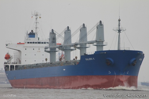
Amar Glyfada
Current StatusWhere is the vessel?
Amar Glyfada is currently in 18 nm SE of Sulina (Port et Zone Franche), based on AIS data received less than 1h ago.
Latest AIS update:
Current position: 44.93673° N, 29.97689° E (18 nm SE of Sulina (Port et Zone Franche))
Average speed (last 7 days): Loading…
Average speed (last 30 days): Loading…
Vessel profile: Amar Glyfada is a Bulk Carrier with dimensions 29m x 176m.
This page combines live AIS, route history, probable destination signals, nearby traffic, and port activity for practical vessel monitoring.
The current position of vessel Amar Glyfada is 44.93673 lat / 29.97689 lng. Updated: 2026-04-18 22:15:15 UTCNearest reference points:
- 12 nm SE of Sulina (Port et Zone Franche)
- 13 nm E of Sulina (Port et Zone Franche)
- Near Ust-Dunaisk/Vylkove
Details:
Live Vessel Amar Glyfada Analytics (details, animations, etc.)
Recent AIS points (UTC):
2026-04-18 16:27:11 UTC · 44.93683, 29.97677 · SOG 0 kn · COG 20°2026-04-18 17:57:12 UTC · 44.93703, 29.97628 · SOG 0 kn · COG 31°
2026-04-18 19:54:13 UTC · 44.93693, 29.97643 · SOG 0 kn · COG 25°
2026-04-18 22:15:15 UTC · 44.93673, 29.97689 · SOG 0 kn · COG 17°