 vesseltracker.com
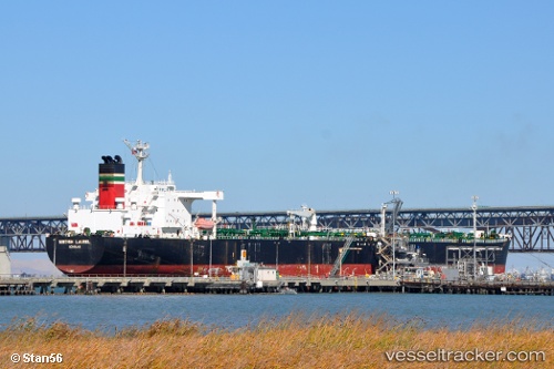
 BLUEBELL
Current Status
Where is the vessel?
BLUEBELL is currently in 76 nm W of Tinaquillo, based on AIS data received less than 1h ago.
Latest AIS update:
Current position: 10.36667° N, 67.10667° E (76 nm W of Tinaquillo)
Average speed (last 7 days): Loading…
Average speed (last 30 days): Loading…
Vessel profile: BLUEBELL is a Crude Oil Tanker with dimensions m x m.
This page combines live AIS, route history, probable destination signals, nearby traffic, and port activity for practical vessel monitoring.
The current position of vessel BLUEBELL is 10.36667 lat / 67.10667 lng. Updated: 2026-04-21 21:39:13 UTCNearest reference points:
- 98 nm S of Tinaquillo
Currently sailing under the flag of Equatorial Guinea ![]()
Details:
Live Vessel BLUEBELL Analytics (details, animations, etc.)
Recent AIS points (UTC):
2026-04-21 17:51:49 UTC · 10.50721, 66.48284 · SOG 9.5 kn · COG 106°2026-04-21 19:30:17 UTC · 10.45667, 66.74833 · SOG 10 kn · COG -1°
2026-04-21 19:30:17 UTC · 10.45667, 66.74833 · SOG 10 kn · COG -1°
2026-04-21 21:39:13 UTC · 10.36667, 67.10667 · SOG 10 kn · COG -1°