 vesseltracker.com
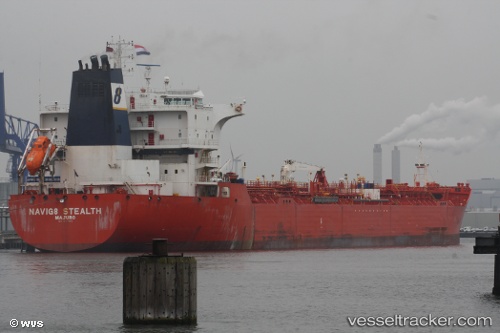
 FAROG
FAROG
Current Status
Where is the vessel?
FAROG is currently in 15 nm S of Dayyer, based on AIS data received about 1d ago.
Latest AIS update:
Current position: 27.58603° N, 51.90656° E (15 nm S of Dayyer)
Average speed (last 7 days): Loading…
Average speed (last 30 days): Loading…
Vessel profile: FAROG is a Oil/Chemical Tanker with dimensions m x m.
This page combines live AIS, route history, probable destination signals, nearby traffic, and port activity for practical vessel monitoring.
The current position of vessel FAROG is 27.58603 lat / 51.90656 lng. Updated: 2026-03-24 19:41:50 UTCNearest reference points:
- Near Dayyer
- Near Sarooj Anchorage
- Near ASALUYEH
Currently sailing under the flag of Curacao ![]()
Details:
Live Vessel FAROG Analytics (details, animations, etc.)
Recent AIS points (UTC):
2026-03-24 19:41:50 UTC · 27.58603, 51.90656 · SOG 0 kn · COG 103°2026-03-24 19:41:50 UTC · 27.58603, 51.90656 · SOG 0 kn · COG 103°
2026-03-24 19:41:50 UTC · 27.58603, 51.90656 · SOG 0 kn · COG 103°
2026-03-24 19:41:50 UTC · 27.58603, 51.90656 · SOG 0 kn · COG 103°