 vesseltracker.com
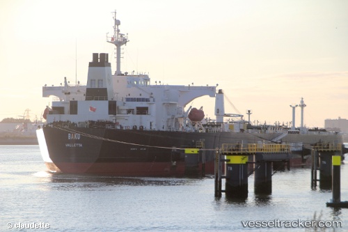
 GRACEP
Current Status
Where is the vessel?
GRACEP is currently in 31 nm SE of DONGJIAKOU, based on AIS data received about 1h ago.
Latest AIS update:
Current position: 35.32659° N, 120.35220° E (31 nm SE of DONGJIAKOU)
Average speed (last 7 days): Loading…
Average speed (last 30 days): Loading…
Vessel profile: GRACEP is a Crude Oil Tanker with dimensions m x m.
This page combines live AIS, route history, probable destination signals, nearby traffic, and port activity for practical vessel monitoring.
The current position of vessel GRACEP is 35.32659 lat / 120.35220 lng. Updated: 2026-04-13 06:09:26 UTCNearest reference points:
- 24 nm SE of DONGJIAKOU
- 25 nm SE of DONGJIAKOU
- 37 nm E of DONGJIAKOU
Currently sailing under the flag of Barbados ![]()
Details:
Live Vessel GRACEP Analytics (details, animations, etc.)
Recent AIS points (UTC):
2026-04-12 23:39:27 UTC · 35.32861, 120.35646 · SOG 0.1 kn · COG 239°2026-04-13 02:30:27 UTC · 35.32848, 120.35247 · SOG 0 kn · COG 125°
2026-04-13 03:48:28 UTC · 35.32773, 120.35210 · SOG 0.1 kn · COG 108°
2026-04-13 06:09:26 UTC · 35.32659, 120.35220 · SOG 0 kn · COG 78°