 vesseltracker.com
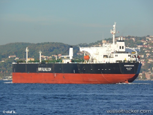
 SOLIGHT
Current Status
Where is the vessel?
SOLIGHT is currently in 42 nm NE of CHENJIAGANG, based on AIS data received about 1h ago.
Latest AIS update:
Current position: 35.00687° N, 120.26881° E (42 nm NE of CHENJIAGANG)
Average speed (last 7 days): Loading…
Average speed (last 30 days): Loading…
Vessel profile: SOLIGHT is a Crude Oil Tanker with dimensions m x m.
This page combines live AIS, route history, probable destination signals, nearby traffic, and port activity for practical vessel monitoring.
The current position of vessel SOLIGHT is 35.00687 lat / 120.26881 lng. Updated: 2026-03-29 19:47:16 UTCNearest reference points:
- 41 nm NE of CHENJIAGANG
- 43 nm SE of DONGJIAKOU
- 30 nm NE of CHENJIAGANG
Currently sailing under the flag of Mozambique ![]()
Details:
Live Vessel SOLIGHT Analytics (details, animations, etc.)
Recent AIS points (UTC):
2026-03-29 13:46:31 UTC · 35.01001, 120.27157 · SOG 0.2 kn · COG 208°2026-03-29 16:00:54 UTC · 35.00992, 120.26800 · SOG 0.2 kn · COG -1°
2026-03-29 17:31:37 UTC · 35.00873, 120.26758 · SOG 0.1 kn · COG -1°
2026-03-29 19:47:16 UTC · 35.00687, 120.26881 · SOG 0.1 kn · COG -1°