 vesseltracker.com
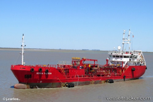
Serra Theresa
Current StatusWhere is the vessel?
Serra Theresa is currently in Near Bahia Blanca, based on AIS data received less than 1h ago.
Latest AIS update:
Current position: 38.87980° S, 62.19153° W (Near Bahia Blanca)
Average speed (last 7 days): Loading…
Average speed (last 30 days): Loading…
Vessel profile: Serra Theresa is a Chemical Tanker with dimensions 10m x 70m.
This page combines live AIS, route history, probable destination signals, nearby traffic, and port activity for practical vessel monitoring.
The current position of vessel Serra Theresa is -38.87980 lat / -62.19153 lng. Updated: 2026-04-01 10:28:21 UTCDetails:
Live Vessel Serra Theresa Analytics (details, animations, etc.)
Recent AIS points (UTC):
2026-04-01 04:19:42 UTC · -38.78301, -62.29945 · SOG 0 kn · COG 161°2026-04-01 05:57:30 UTC · -38.78302, -62.29950 · SOG 0 kn · COG 161°
2026-04-01 07:21:52 UTC · -38.78303, -62.29945 · SOG 0 kn · COG 161°
2026-04-01 10:28:21 UTC · -38.87980, -62.19153 · SOG 8.4 kn · COG 129°