 vesseltracker.com
 BELUGA A
Current Status
Where is the vessel?
BELUGA A is currently in Near Al Adabiyah, based on AIS data received about 1h ago.
Latest AIS update:
Current position: 29.84224° N, 32.53534° E (Near Al Adabiyah)
Average speed (last 7 days): Loading…
Average speed (last 30 days): Loading…
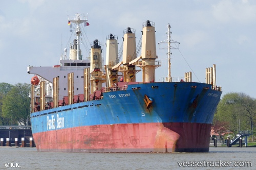
Vessel profile: BELUGA A is a Bulk Carrier with dimensions m x m.
This page combines live AIS, route history, probable destination signals, nearby traffic, and port activity for practical vessel monitoring.
The current position of vessel BELUGA A is 29.84224 lat / 32.53534 lng. Updated: 2026-04-07 12:21:22 UTCNearest reference points:
- Near Bur Ibrahim
- Near AL ADABIYAH
- Near SUEZ PORT
Currently sailing under the flag of Saint Kitts and Nevis ![]()
Details:
Live Vessel BELUGA A Analytics (details, animations, etc.)
Recent AIS points (UTC):
2026-04-07 05:42:21 UTC · 29.84235, 32.53500 · SOG 0 kn · COG 345°2026-04-07 07:30:24 UTC · 29.84234, 32.53456 · SOG 0 kn · COG 0°
2026-04-07 10:06:18 UTC · 29.84240, 32.53399 · SOG 0 kn · COG 17°
2026-04-07 12:21:22 UTC · 29.84224, 32.53534 · SOG 0 kn · COG 339°