 vesseltracker.com
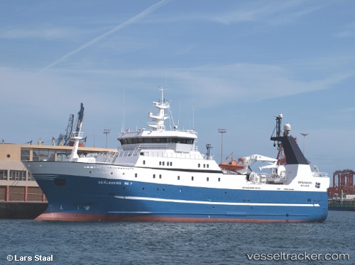
 BARENTSBURG
Current Status
Where is the vessel?
BARENTSBURG is currently in 245 nm E of Hopen, based on AIS data received about 1h ago.
Latest AIS update:
Current position: 75.78888° N, 41.98205° E (245 nm E of Hopen)
Average speed (last 7 days): Loading…
Average speed (last 30 days): Loading…
Vessel profile: BARENTSBURG is a Fish Carrier with dimensions 16m x 75m.
This page combines live AIS, route history, probable destination signals, nearby traffic, and port activity for practical vessel monitoring.
The current position of vessel BARENTSBURG is 75.78888 lat / 41.98205 lng. Updated: 2026-03-30 05:21:33 UTCCurrently sailing under the flag of Russia ![]()
BARENTSBURG built in 2002 year
Deadweight:
1570 tDetails:
Live Vessel BARENTSBURG Analytics (details, animations, etc.)
Recent AIS points (UTC):
2026-03-29 23:10:07 UTC · 75.96112, 41.49618 · SOG 3 kn · COG 282°2026-03-30 01:13:39 UTC · 75.93500, 41.81333 · SOG 2 kn · COG -1°
2026-03-30 03:28:35 UTC · 75.85667, 41.97333 · SOG 2 kn · COG -1°
2026-03-30 05:21:33 UTC · 75.78888, 41.98205 · SOG 1.8 kn · COG 173°