 vesseltracker.com
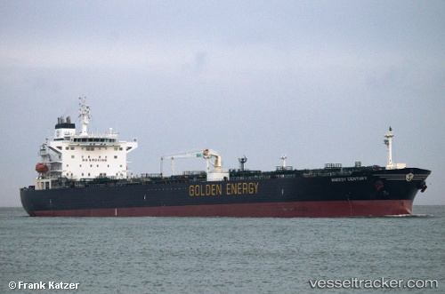
 Fusion Energy
Current Status
Where is the vessel?
Fusion Energy is currently in 228 nm E of Puerto Deseado, based on AIS data received less than 1h ago.
Latest AIS update:
Current position: 46.73949° S, 60.51445° W (228 nm E of Puerto Deseado)
Average speed (last 7 days): Loading…
Average speed (last 30 days): Loading…
Vessel profile: Fusion Energy is a Oil Products Tanker with dimensions 228m x 32m.
This page combines live AIS, route history, probable destination signals, nearby traffic, and port activity for practical vessel monitoring.
The current position of vessel Fusion Energy is -46.73949 lat / -60.51445 lng. Updated: 2026-04-07 21:41:57 UTCCurrently sailing under the flag of Panama ![]()
Fusion Energy built in 2003 year
Deadweight:
70201 tDetails:
Live Vessel Fusion Energy Analytics (details, animations, etc.)
Recent AIS points (UTC):
2026-04-07 15:42:52 UTC · -46.92138, -60.45823 · SOG 5.9 kn · COG 261°2026-04-07 17:29:56 UTC · -46.87759, -60.56158 · SOG 1.9 kn · COG 48°
2026-04-07 19:46:08 UTC · -46.76604, -60.55203 · SOG 1.5 kn · COG 47°
2026-04-07 21:41:57 UTC · -46.73949, -60.51445 · SOG 2.3 kn · COG 98°